
|
|||||||
|
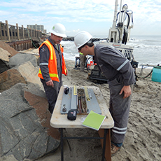
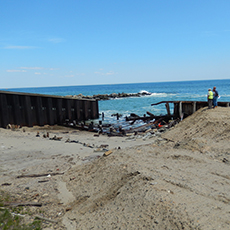
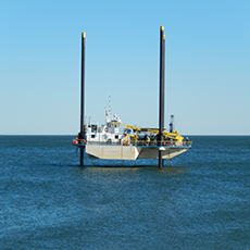
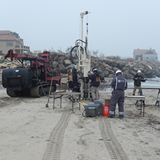
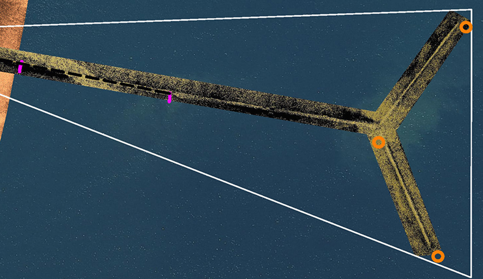
Beach erosion control, New JerseyThe US Army Corps of Engineers, New York District, is replenishing the beaches along the New Jersey coast from Loch Arbour to Elberon. To protect the sediments placed for beach nourishment, the District plans to extend drainage outfalls beyond the beach nourishment. e4sciences teamed with AECOM to design the outfalls and to support the outfall construction. The e4sciences/AECOM team performed single-beam and multibeam hydrographic surveys, sonar imaging, reflection seismology, standard penetration test borings, land surveys, and LiDAR surveys in the nearshore, on the beach, and on the ridge. e4sciences produced topographic and bathymetric maps and maps of sediment isopachs, obstructions, and debris. The underwater imaging showed that the groin heads are significantly larger than observed subaerially. The sonar data reveal existing outfalls, sewer outfalls, and other obstructions to construction. |
||||||

|
|||||||