
|
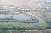
Rivers & lakes
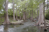
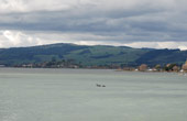
- Ecosystems — Produce baseline physical measurements & quantify biological assets; determine the dynamics of the flora & fauna with physical properties
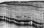
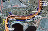
- Morphology — Map bodies with sonar & seismic surveys; perform historical analysis; sample & core
- Water quality — Perform chemical & biological measurements; sample
- Sediments — Map sediments with sonar & seismic surveys with sampling & coring; perform benthic imaging
- Water column — Measure temperature, pH, dissolved nitrogen & oxygen with depth & flow rate
- Rock basement — Produce top of rock maps based on seismic & boring data
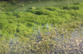
- Algae & cyanobacteria — Map with sonar, seismic & electromagnetic surveys with sampling; predict the production rates
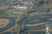
- Asset evaluation — Map & monitor asset value & maintenance with surveys & sampling; scenario modeling
- Reservoir siltation/sedimentation — Measure & predict sedimentation rates over the lifetime of the asset
|
