|
Water
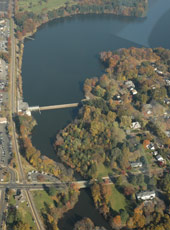
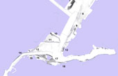
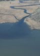
- Reservoir siltation — Map sediment thickness & flux with sonar & seismic measurements with sampling; quantify the sedimentation rate accurately
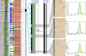
- Aquifer evaluation — Acquire borehole logs & geophysical surveys; integrate interpretations
- Aquifer storage & recovery — Log boreholes, evaluate strata & integrate data
- Water quality — Sample chemistry & biology, monitor suspended sediment
- Benthic ecology — Image, sample & assess community dynamics
- Fish tracking — Image & monitor habitats & fish movement
- Water properties — Measure water table elevations, pressures & chemistry
|
